"Many of Berkeley’s hill areas were subdivided in the early 20th Century,
before dominance of the automobile. Streets were generally laid out to
follow curving contours, while 10-foot-wide city-owned rights of way
were provided to make it easy for people to walk directly up and down
hills." - Berkeleypath.org
If you live in Berkeley, then you have probably heard about the Berkeley Paths, or stumbled upon one while walking around town. My mom grew up in North Berkeley and as a kid I spent a lot of time visiting with my grandma and Aunts (my youngest Aunt is only 6 years older than me!), so I have fond memories of exploring the hills and using the paths to cut through neighborhoods. Even as an adult, I get giddy when we are out for a walk and come across a staircase that cuts through a neighborhood. They are just SO CHARMING!
I have wanted to tackle the paths for a while now, but the idea of carrying my kids up the steep hills of Berkeley quickly put a damper on any future plans. If only I could find a way to just walk the downhill portion with the kids. And that's when the idea struck me! It's far from genius, but I felt like I had uncovered something magical when I realized that we could ride a bus to the top of the hill and then walk down using the paths. My kids LOVE riding the bus, so this made the adventure all the more exciting for them.
We started our urban hike at the intersection of Grizzly Peak and Stevenson Ave (We took the 65 bus from downtown Berkeley BART). There are a number of bus stops along Grizzly Peak that will put you in close proximity to one of the Berkeley Paths. You can use
Google Pedometer to view the paths and map out your route ahead of time (which you can then save and pin for future reference or email to yourself).
Here is the route we took if you're interested. (side-note: If you load the map onto your smartphone, then every time you refresh during the hike, it will track where you are in relation to the map, which was pretty handy!)
 |
| Our first path of the day! The Anne Brower Path. |
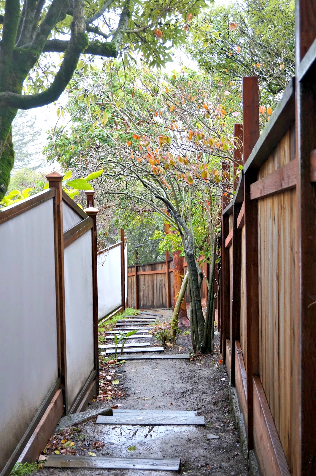
My previous experiences with the Berkeley Paths had been much lower in the hills, where the pathways tend to be very formal and made of cement. As you go higher into the hills, the pathways are a bit wilder and constructed with large railwood ties along otherwise dirt or gravel paths. I loved this surprise and so did the kids! There was something much more exciting and adventurous about tromping along these dirt paths (in our case muddy paths since we went while it was raining).
 |
| Path #2, Betty Old's Path |
 |
| Our third path, Whitaker Path. The kids loved the "tree tunnels". |
 |
| The perfect stones for jumping! |
Planning an urban hike along the paths was pretty easy. When viewing google maps, you can see the dashed lines cutting between the neighborhoods that represent the paths, and if you zoom in you can see the name of the path. As far as spotting the paths when you are up in the hills, they are all clearly marked with signs, just as you would expect at the intersection of two streets.
Two of our favorite paths along our hike were the Upper and Lower Covert path. It almost felt as though we were trespassing into a secret forest (the feeling of trespassing may also be because you are passing through people's side yards!). The lower Covert path had us crossing a small creek and ended with a water fall running down the hillside!
 |
| Upper Covert Path |
 |
| On a clear day, there would be views of the bay from here. |
 |
| Lower Covert Path, on our descent to the creek! |
 |
| Crossing the creek |
For the most part, as soon as we got to the bottom of one path, we could look down the street and quickly spot a sign for the next path. At the bottom of the Covert Paths, we had our longest stretch of walking along the road. It was only a couple of blocks and gave us a chance to admire the beautiful homes.
 |
| Perhaps the cutest carport in Berkeley! |
After our short detour, we arrived at the Tamalpais Path, by far the steepest path of them all.
The Tamalpais path runs along the northern most edge of
Codornices Park and weather permitting, is a stop worth making. Aside from a lovely grass area for picnicking, it has THE BEST cement slide in the Bay Area (The. Best.). The park also has a short tunnel that passes below the road and provides access to the Berkeley Rose Garden, which has stunning views of the bay on a clear day, and of course hundreds of roses in the Spring and Summer.
 |
| If you have never been on a cement slide, they are amazing. You sit on a piece of cardboard (the park has tons, so you don't have to bring your own) and you FLY down the slide. It can be a little dangerous if you are going down with a kid in hand, be sure to tuck the little arms in and use your feet for brakes if needed (the added weight of an adult adds some serious speed!). |
Once you reach Codornices Park, you are just a short distance to Berkeley's Gourmet Ghetto, where you will find countless temptations for delicious ways to fill your belly. This portion of the walk also gives you a little insight into what locals refer to as "quirky Berkeley". Keep an eye out for interesting art installations and creative decor.
My youngest had a lot of fun with this home on Summer street, and insisted on taking a photo with the props. This home also had one of the more creative mailboxes I have seen in town.
Our last path of the day was the Berryman Path, which leads you to Live Oak Park where you will find lots of great picnic spots as well as an easily accessible creek for the kids to stomp around in.
While the hike in itself is a wonderful way to spend the day, it also happens to lead you to some of the best food in the East Bay. There are lots of fantastic options in the Gourmet Ghetto, and I would venture to say that you really can't go wrong with anything you choose. One of our favorite spots is the
Cheeseboard Collective. Yes, it's insanely popular and there will be a line 50 people deep during the lunch hour, but the line moves quickly and it's well worth the wait. They serve one vegetarian pizza option each day with a small assortment of side salads and drinks. There is typically live music and some of the best people watching in town. So settle in at an outdoor table and reward yourself with some tasty pizza and wonderful music.
Any suggestions for future hikes along the Berkeley Paths?
Details: For information on all the Berkeley Paths, check out BerkeleyPaths.org. AC transit is free for kids under 5 (half off for youth), and adults can get a day pass for
$5 that allows for unlimited rides for any given calendar day. You can
either purchase the pass when boarding the bus, or by using your clipper
card (which automatically stop charging you after you reach the $5
threshold for a day). We took the 65 bus from downtown Berkeley Bart and got off at the Stevenson stop along Grizzly Peak. Slices at Cheeseboard are $2.50, half a pizza is $10, whole is $20. This is the most budget friendly option in the neighborhood, but Gregoire is another casual option and if you just want dessert, then be sure to grab a mini cake from Masse's Pastries.


